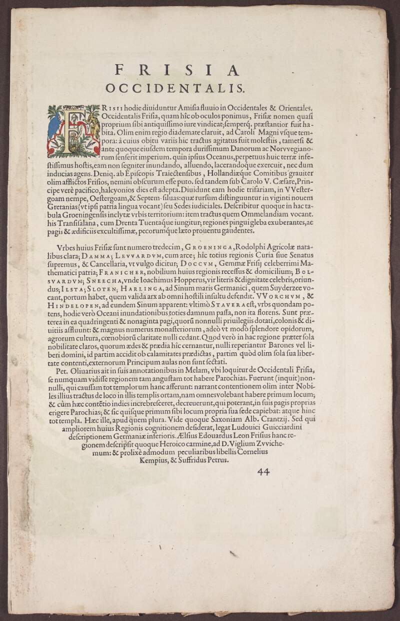
Frisia Occidentalis. /
Sibrandusleonis Leovardiensis describ.,
1579.
| Main Creator: | |
|---|---|
| Contributors: | |
| Summary: | Map showing West Frisia, Groningen, and parts of Drenthe in the Netherlands, with principal towns such as Sneek, Stavoren (Staueren), Harlingen, Leeuwarden, Dokkum, and Groningen. Map also shows the West Frisian islands of Terschelling (Schellinck), Ameland (Amelandt), Schiermonnikoog (Schiermonickoge), Bosch (which is now a sunken island)and Hessesant. |
| In collection: | Theatrum orbis terrarum. |
| Format: | Manuscript |
| Published / Created: |
[Antverpiae,
1592].
|
| Subjects: | |
| Notes: | Relief shown pictorially. From the author's atlas 'Theatrum orbis terrarum', 1592 ed. Text on recto under title 'Frisia Occidentalis' with page number '44' printed lower right. Map of West Friesland based on a manuscript map made by Sibrandus Leo. Inset map lower right: "Antiquae Frisiae situs sub Augusto Imperatore, ut fertur' [The seat of ancient Frisia under emperor Augustus, as has been supposed]. Inset map based on a manuscript map of Friesland in Augustus' time by Joachim Hopper, who based it on a map of ancient Friesland by Jacob van Deventer. Physical description: 2 hand col. maps (1 inset) on 1 sheet, 45 x 58 cm, folded to 45 x 29 cm. more |
| Arrangement: | Sub-fonds |
| LEADER | 02621ntdaa2200445 u 4500 | ||
|---|---|---|---|
| 001 | vtls000300981 | ||
| 003 | IeDuNL | ||
| 004 | vtls000300561 42 | ||
| 005 | 20240215153900.0 | ||
| 008 | 110727m15791592be ab 000 latgdd | ||
| 039 | 9 | |a 202402151539 |b Joanne Carroll |c 201111041327 |d acmcgovern |c 201110261226 |d acmcgovern |c 201109071756 |d acmcgovern |y 201107271701 |z acmcgovern | |
| 040 | |a leDuNL |b eng |e Description follows NLI guidelines based on ISAD(G) 2nd ed. and LCSH | ||
| 049 | 0 | |b MSS | |
| 100 | 1 | |a Ortelius, Abraham, |d 1527-1598 | |
| 245 | 1 | |a Frisia Occidentalis. / |c Sibrandusleonis Leovardiensis describ., |f 1579. | |
| 260 | |a [Antverpiae, |c 1592]. | ||
| 300 | |a 2 hand col. maps (1 inset) on 1 sheet, |c 45 x 58 cm, folded to 45 x 29 cm. | ||
| 351 | |c Sub-fonds | ||
| 500 | |a Relief shown pictorially. | ||
| 500 | |a From the author's atlas 'Theatrum orbis terrarum', 1592 ed. | ||
| 500 | |a Text on recto under title 'Frisia Occidentalis' with page number '44' printed lower right. | ||
| 500 | |a Map of West Friesland based on a manuscript map made by Sibrandus Leo. | ||
| 500 | |a Inset map lower right: "Antiquae Frisiae situs sub Augusto Imperatore, ut fertur' [The seat of ancient Frisia under emperor Augustus, as has been supposed]. | ||
| 500 | |a Inset map based on a manuscript map of Friesland in Augustus' time by Joachim Hopper, who based it on a map of ancient Friesland by Jacob van Deventer. | ||
| 520 | 8 | |a Map showing West Frisia, Groningen, and parts of Drenthe in the Netherlands, with principal towns such as Sneek, Stavoren (Staueren), Harlingen, Leeuwarden, Dokkum, and Groningen. | |
| 520 | 8 | |a Map also shows the West Frisian islands of Terschelling (Schellinck), Ameland (Amelandt), Schiermonnikoog (Schiermonickoge), Bosch (which is now a sunken island)and Hessesant. | |
| 651 | 0 | |a Friesland (Netherlands) |v Maps |v Early works to 1800 | |
| 651 | 0 | |a Drenthe (Netherlands) |v Maps |v Early works to 1800 | |
| 651 | 0 | |a Groningen (Netherlands) |v Maps |v Early works to 1800 | |
| 651 | 0 | |a West Frisian Islands (Netherlands) |v Maps |v Early works to 1800 | |
| 700 | 1 | |a Sibrandus Leo, |d ca. 1528-ca. 1583 | |
| 700 | 1 | |a Deventer, Jacob van, |d d. 1575 | |
| 700 | 1 | |a Hoppers, Joachim, |d 1523-1576 | |
| 773 | 1 | |i In collection: |t Theatrum orbis terrarum. |w (IeDuNL)000300561 | |
| 852 | 4 | 1 | |a IeDuNL |b MS |c 48,518 /42 |
| 949 | |a VIRTUAITEM |d 40000 |g 40000 |x 24 |a MS 48,518 /42 | ||
| 996 | |a true | ||
| 999 | |a VIRTUA4 | ||
| 999 | |a VTLSSORT0040*0080*0400*0490*1000*2450*2600*3000*3510*5004*5001*5000*5002*5003*5005*5200*5201*6510*6511*6512*6513*7000*7001*7002*7730*8520*9960*9993 | ||
| 999 | |a ANCESTRY |k A300561 |l B300981 | ||

