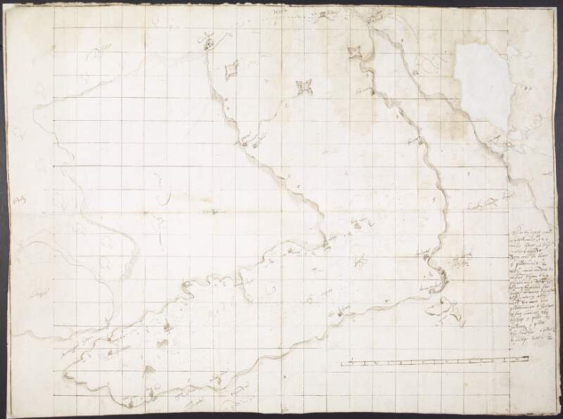
A plott of a part of Ulster in Ireland, showing the Ards peninsula, County Down,
circa 1580-1600.
| In collection: | Maps, drawings and plans by Richard Bartlett (Barthelet) and others, 1587-1625. |
|---|---|
| Format: | Manuscript |
| Language: | English |
| Published / Created: |
circa 1580-1600.
|
| Subjects: | |
| Notes: | A scale is provided on this map, but is unclear. Physical description: 1 sheet: 59 x 43.5 cm. more |
| Access: | Original withdrawn. Digitised images are available online. |
Loading...

A plott of a part of Ulster in Ireland, showing the Ards peninsula, County Down,
circa 1580-1600.
| In Collection: | Maps, drawings and plans by Richard Bartlett (Barthelet) and others, 1587-1625. |
|---|---|
| Created: |
circa 1580-1600.
|
| Language: | English |
| Extent: | 1 sheet: 59 x 43.5 cm. |
| Format: | Manuscript |
| Call Number: |
MS 2656 (20)
(Manuscripts Reading Room) |
| Access Conditions: | Original withdrawn. Digitised images are available online. |
| Rights: | Reproduction rights owned by National Library of Ireland. |