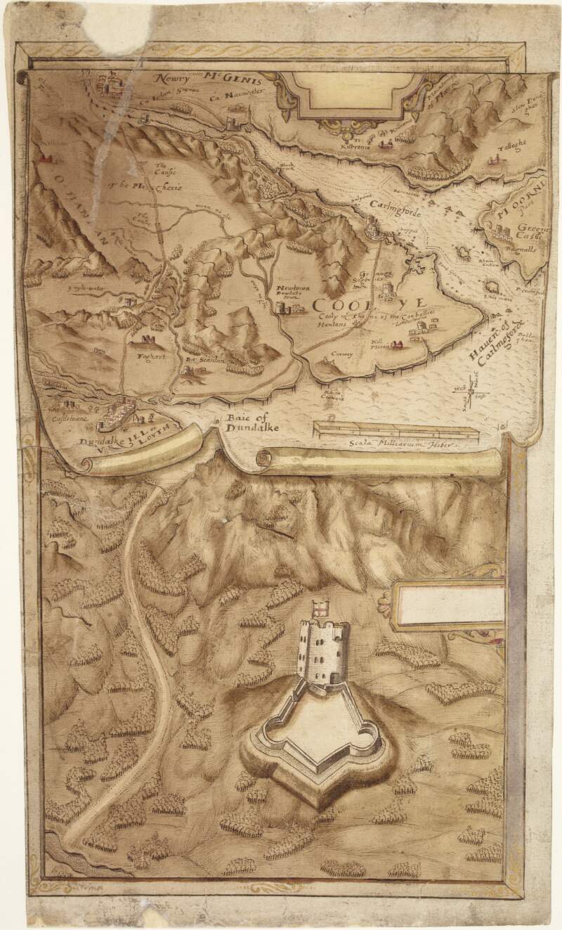
Map of the district between Dundalk and Newry,
circa 1602.
| Main Creator: | |
|---|---|
| Summary: | The map shows Dundalk, Newry, Carlingforde Lough, the Moorne Mountains, the Cooley Peninsula and surrounding landmarks. |
| In collection: | Maps, drawings and plans by Richard Bartlett (Barthelet) and others, 1587-1625. |
| Format: | Manuscript |
| Language: | English |
| Published / Created: |
circa 1602.
|
| Subjects: | |
| Notes: | Scale is marked as "Scala milliarium Hiber". Physical description: 1 sheet : 24.5 x 45 cm. more |
| Access: | Original withdrawn. Digitised images are available online. |
