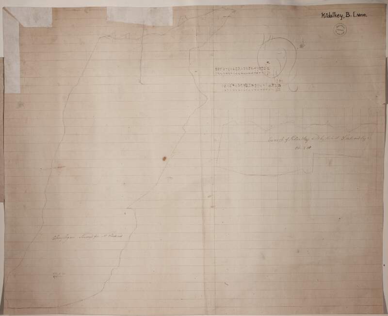
Outline map of the Curragh of Kildalkey held by Robert Fleetwood.
| Contributors: | |
|---|---|
| In collection: | Longfield Map Collection |
| Format: | Map |
| Language: | English |
| Published / Created: |
[between 1770 and 1840]
|
| Subjects: | |
| Notes: | Inset map: "Outline map of Clonybogan for Robert Fleetwood." Physical description: 2 maps on 1 sheet. Geographic Coverage: Barony of Lune, County Meath, Province of Leinster, Ireland. more |
As a digital copy of this item is available, the original will not be issued.
| Call Number | View In | Collection |
|---|---|---|
|
MS 21 F. 14 / (060) |
Manuscripts Reading Room |
Manuscripts |
Reproduction rights owned by National Library of Ireland


