Poictou :
Pictonum vicinarum que regionum fidiss descriptio. /
Auctore Nobili Dño Petro Rogiero Pictone, Regiæ Mtis Galliæ consiliario, etc.,
1579.
| Main Creator: | |
|---|---|
| Contributors: | |
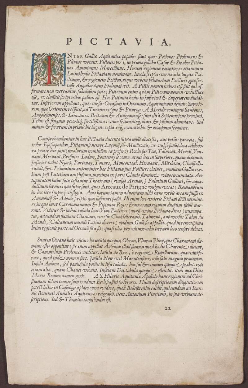
| Summary: | Map of Poictou (today the regions of Poitou-Charentes and Pays de la Loire)in France, showing cities and towns such as Angoulême, Cognac, La Rochelle, Limoges, Loudon, Niort, Poitiers, Roche-Sur-Yon, and Santes. Islands depicted in map are Ile d'Yeu, Ile de Noirmoutier, Ile de Ré and Ile d'Oléron. |
| In collection: | Theatrum orbis terrarum. |
| Format: | Manuscript |
| Published / Created: |
[Anverpiae,
1592].
|
| Subjects: | |
| Notes: | From the author's atlas 'Theatrum orbis terrarum', 1592 ed. Relief shown pictorially. Text on recto under title 'Pictavia', with page number '22' printed lower right. Based on map by Pierre Rogier. Physical description: 1 hand col. map, 45 x 58 cm, folded to 45 x 29 cm. more |
| Arrangement: | Sub-fonds |
Loading...

Poictou : Pictonum vicinarum que regionum fidiss descriptio. /
Auctore Nobili Dño Petro Rogiero Pictone, Regiæ Mtis Galliæ consiliario, etc.,
1579.
| In Collection: | Theatrum orbis terrarum. |
|---|---|
| Description: | Map of Poictou (today the regions of Poitou-Charentes and Pays de la Loire)in France, showing cities and towns such as Angoulême, Cognac, La Rochelle, Limoges, Loudon, Niort, Poitiers, Roche-Sur-Yon, and Santes. Islands depicted in map are Ile d'Yeu, Ile de Noirmoutier, Ile de Ré and Ile d'Oléron. |
| Main Creator: | |
| Created: |
[Anverpiae,
1592].
|
| Extent: | 1 hand col. map, 45 x 58 cm, folded to 45 x 29 cm. |
| Format: | Manuscript |
| Call Number: |
MS 48,518 /22
(Manuscripts Reading Room) |