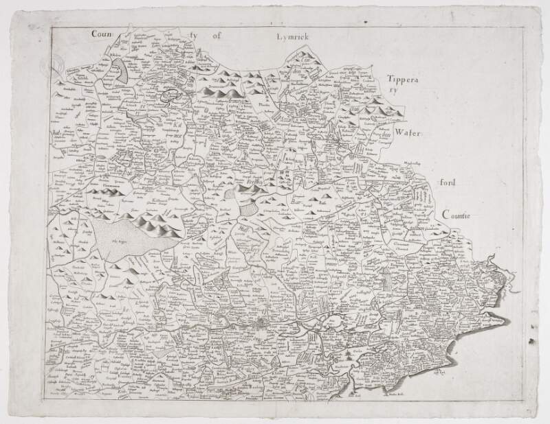
The County of Cork, part of,
[1685].
| Main Creator: | |
|---|---|
| Summary: | Map of part of County Cork, Ireland. |
| Format: | Map |
| Language: | English |
| Citation: | National Library of Ireland. Department of Manuscripts. |
| Subjects: | |
| Notes: | Originally bound in volume along with maps, surveys and plans by English military surveyor, Thomas Phillips (1635?-1693), Second Engineer. Printed map from Sir William's Petty's atlas of Ireland "Hiberniae Delineatio", first published in 1685. Physical description: 1 sheet : 17 x 22 inches. Geographic Coverage: County Cork, Ireland. more |
As a digital copy of this item is available, the original will not be issued.
| Call Number | View In | Collection |
|---|---|---|
|
MS 3137 /14 |
Manuscripts Reading Room |
Manuscripts |


